What Does a Surveyor Do? A Comprehensive Guide
Surveyors play an essential role in the planning and execution of various construction and land development projects. Their expertise is crucial for ensuring that everything is accurately measured and legally compliant. Understanding what surveyors do can provide insight into the construction and development industries that shape our environments.
Introduction to Surveying
Surveying is the science of measuring distances and angles on the Earth’s surface. It is a fundamental process used in the creation of maps, the establishment of property boundaries, and the compiling of data for construction projects. Surveyors utilize advanced tools and techniques to gather necessary information that corresponds to specific projects.
The practice of surveying has a long history, dating back to ancient civilizations. Over the years, the methods and technologies have evolved from rudimentary instruments to sophisticated machinery, including GPS and laser scanning technologies. Yet, the core principles remain unchanged—a focus on precision and accuracy. The importance of surveying can be seen in its applications across various fields, including civil engineering, environmental science, and urban planning. Each of these disciplines relies heavily on accurate measurements to ensure safety, compliance, and effective resource management.
Types of Surveyors
There are various specialties within the surveying profession that cater to differing needs in construction and land development. Each type of surveyor focuses on specific tasks and uses unique methodologies.
One of the primary types of surveyors is the land surveyor, who typically works on delineating property lines and preparing land for development. They conduct boundary surveys to determine land ownership and are often involved in the subdividing process. Land surveyors must be well-versed in local laws and regulations, as their findings can significantly impact property rights and development potential. In addition to boundary surveys, they may also conduct topographic surveys, which provide detailed information about the terrain, including elevations and natural features, essential for planning and design.
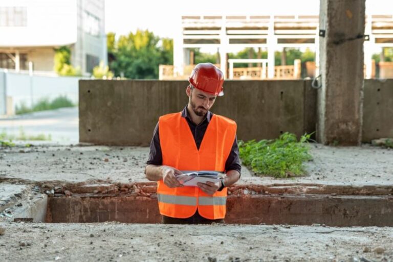
Another key type is the construction surveyor, who is responsible for setting up reference points that guide construction activities. This includes ensuring that structures are built according to their intended designs. They often work closely with architects and civil engineers, serving as a bridge between planning and implementation. Construction surveyors must possess a deep understanding of engineering principles and construction methods, as they play a critical role in preventing costly mistakes during the building process. Their work often involves continuous monitoring and adjustment as construction progresses to ensure that all elements align perfectly with the original plans.
Additionally, mine surveyors focus on surveying land used for mining purposes, assessing both the surface and underground areas. Their work is crucial for maintaining safety and efficiency in mining operations. Mine surveyors must be adept at navigating complex geological conditions and often use specialized equipment to gather data in challenging environments. They are responsible for creating detailed maps that assist in planning extraction processes while also ensuring compliance with environmental regulations and safety standards.
The Surveying Process
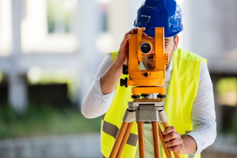
The surveying process typically begins with a thorough assessment of the land and its characteristics. This initial step may involve field surveys, where surveyors gather data on terrain, features, and existing structures. Advanced tools like total stations and GPS equipment are utilized to take precise measurements. The use of drones for aerial surveying has also gained popularity, providing a bird’s-eye view of large areas and enabling surveyors to capture data that would be difficult to obtain from the ground.
Once data is collected, surveyors analyze and interpret this information. They employ software programs to create maps and models that reflect the gathered data, which can be used for various applications, from urban planning to environmental assessments. Geographic Information Systems (GIS) are often employed in this phase, allowing surveyors to visualize spatial relationships and analyze patterns that inform decision-making processes. The integration of 3D modeling and visualization tools further enhances the ability to present complex data in an accessible format for stakeholders.
After the analysis, surveyors prepare detailed reports and documentation that support regulatory compliance and project requirements. These reports are essential for architects, engineers, and contractors, as they lay the groundwork for informed decision-making throughout the project. Additionally, surveyors may be called upon to present their findings in public forums or legal settings, where their expertise can clarify complex issues related to land use and property rights. The meticulous nature of their work ensures that every detail is accounted for, ultimately contributing to the successful completion of projects and the sustainable development of land resources.
Legal and Regulatory Aspects of Surveying
Surveyors must have a deep understanding of the legal frameworks that govern land use and property ownership. This legal aspect is crucial, as many disputes arise over property boundaries. Surveyors are trained to adhere to these laws and standards to provide accurate and reliable data. The legal implications of surveying extend beyond mere boundary definitions; they also encompass zoning laws, easements, and land use regulations, which can significantly affect how land can be developed or utilized. Understanding these regulations enables surveyors to provide clients with informed advice and helps prevent potential legal conflicts.
In many regions, surveyors must acquire licensure or certification to practice legally. This process often involves completing a degree in surveying or a related field, followed by passing examinations to certify their knowledge and skills. Continuous education is also essential as laws and technologies evolve. Many professional organizations offer resources and training to help surveyors stay updated on changes in legislation and best practices. This commitment to ongoing education not only enhances the surveyor’s expertise but also reinforces public trust in their work, as clients can be assured that their surveyor is knowledgeable about current laws and regulations.
The Importance of Accurate Surveying
Accurate surveying is vital for ensuring that projects are built correctly and safely. Inaccuracies in survey data can lead to costly mistakes, legal disputes, and safety hazards. For example, a miscalculated property line can lead to encroachments, which might require legal intervention and result in significant financial losses. Additionally, the implications of inaccurate surveys can extend to environmental assessments and land development plans, where precise measurements are necessary to evaluate the impact on ecosystems and comply with environmental regulations.
Furthermore, accurate surveying is crucial in the maintenance of infrastructure. As cities grow and change, surveyors are needed to re-evaluate and update existing data. This ongoing role ensures that existing properties and new developments coexist without conflict. Regular surveys can also identify potential issues before they escalate, such as land subsidence or structural integrity problems, allowing for timely interventions that can save both time and money in the long run. The integration of accurate surveying into urban planning processes is essential for sustainable development and the efficient use of resources. Visit https://www.dfat.gov.au/development/topics/development-issues/infrastructure-trade-facilitation-international-competitiveness/infrastructure to get more about australian’s assistance of infrastructure.

Technological Advances in Surveying
The surveying industry has been transformed by technological advancements, making the process faster, more accurate, and more efficient. The introduction of Geographic Information Systems (GIS) allows surveyors to analyze spatial data and create detailed maps that are invaluable for urban planning and environmental management. GIS technology also facilitates the integration of various data sources, enabling surveyors to visualize complex relationships between different geographical elements, such as land use, population density, and natural resources. Check out Why Hiring Professional Surveyors Sydney is Essential for Your Project.
Moreover, drone technology has become increasingly popular in surveying. Drones can access hard-to-reach areas and gather data quickly, resulting in a more comprehensive understanding of large areas. They also enable surveyors to conduct aerial surveys without the need for cumbersome equipment on the ground. The use of drones not only enhances data collection efficiency but also reduces the risk associated with surveying hazardous or difficult terrains. As regulations surrounding drone usage continue to evolve, surveyors are finding new ways to leverage this technology to improve their services.
Another innovation is the adoption of 3D laser scanning, which provides highly detailed three-dimensional representations of landscapes and structures. This technology significantly enhances precision in the construction process and allows for better project visualization. 3D laser scanning can capture millions of data points in a short amount of time, creating a digital twin of the surveyed area that can be used for analysis, design, and planning. This level of detail is particularly beneficial in historical preservation projects, where maintaining the integrity of existing structures is paramount. As technology continues to advance, the surveying profession is likely to see even more innovative tools that will further enhance accuracy and efficiency.
Career Opportunities for Surveyors
The field of surveying offers a myriad of career opportunities for trained professionals. From conducting land surveys to overseeing complex construction projects, surveyors have diverse roles across various sectors. These can include government agencies, private consulting firms, and large construction companies.
Additionally, the demand for surveyors is expected to grow, particularly in regions experiencing rapid urbanization or where infrastructure improvements are underway. Surveyors can also specialize further within their field, taking on roles in geodetic surveying, hydrographic surveying, or environmental surveying, based on their interests and skills.
Conclusion
Surveyors are indispensable members of the construction and land development industries. Their work ensures that projects are both feasible and compliant with regulations, ultimately contributing to the safety and success of construction endeavors. As technology continues to evolve, surveyors will adapt and expand their capabilities, further enhancing their vital role in shaping our built environment.
Understanding the complexities of surveying not only highlights the importance of accurate land measurement but also emphasizes the professional skills and education required in this field. For anyone considering a career in surveying, it presents a promising and dynamic opportunity to make a meaningful impact in the world.


